印
AI Product
Badan AI & Yield Prediction
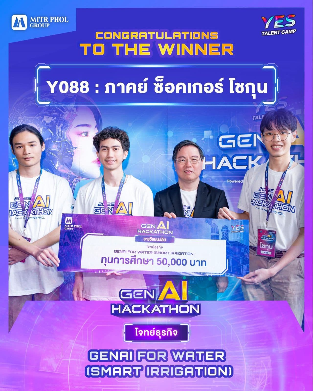
Winner @ Mitr Phol GenAI Hackathon 2025
Impact
Spatial probability prediction & Agentic AI integration.
Overview
The Challenge: Blind Exploration
Water is the lifeblood of agriculture, yet finding sustainable groundwater sources (Badan water) remains a game of chance for many farmers. Traditional methods rely on costly geological surveys or pure intuition, leading to low success rates and wasted resources. For Mitr Phol, optimizing water yield is crucial for sugarcane productivity. We needed a way to peer beneath the surface without drilling a single hole.
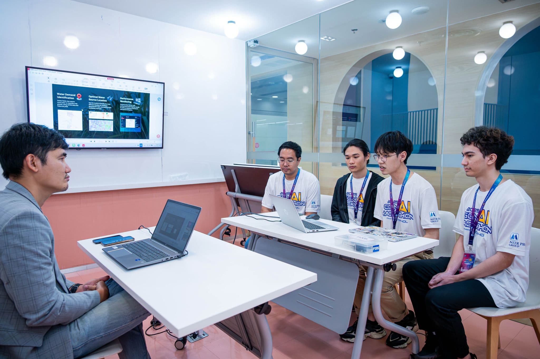
Figure: Presentation Vibe
Our Approach: Geospatial Intelligence
We built a predictive engine that treats the earth's surface as a dataset. By combining satellite imagery, topographical data, and historical yield records, we engineered a model capable of "seeing" water potential.
- Satellite Data: Sentinel-2 imagery for vegetation indices (NDVI) and moisture levels.
- Topography: DEM (Digital Elevation Model) data to analyze slope, aspect, and catchment areas.
- Soil Composition: Geological maps digitized to understand permeability/porosity. Merging these layers allowed us to create a "Probability Heatmap" of the target areas, highlighting zones with the highest likelihood of accessible groundwater.
The Architecture
The system pipeline consists of three main stages: Data Ingestion, Processing, and Insight Delivery.
-
Ingestion: Automated scripts pull daily satellite updates and weather station data.
-
Probabilistic Modeling:
- Badan Water Probability: We utilize a Gaussian Process (GP) classifier to infer the probability of groundwater presence. GPs allow us to model uncertainty explicitly—crucial when deciding where to drill in unexplored terrain.
- Water Demand: A separate Regression Model forecasts the water demand for specific crop cycles, analyzing evapotranspiration rates and soil moisture deficits.
-
Delivery: The results are stored in a PostGIS database, ready for querying.This modular architecture ensures that as new ground-truth data comes in from drilling logs, the model automatically retrains and improves its precision over time.
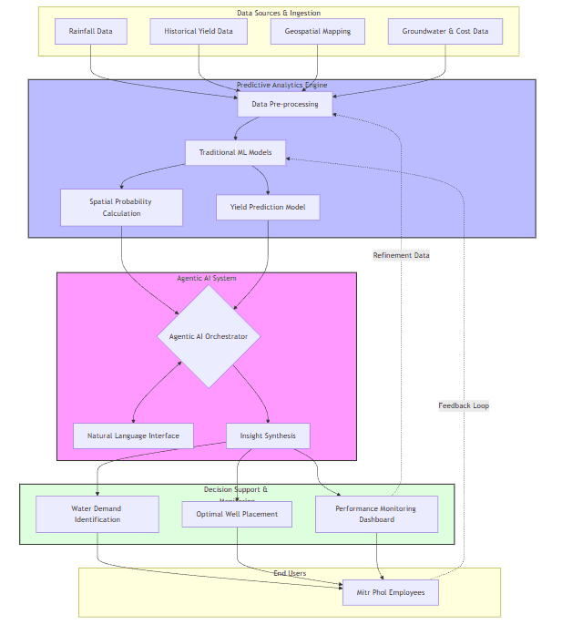
Figure: System Architecture Diagram
Technology Stack
We harnessed a modern stack to handle the complexity of geospatial ML and Agentic workflows:
- Data Sources: Sentinel satellite data via Google Earth Engine, public government datasets, and internal Mitr Phol agricultural records.
- Processing: GeoPandas for complex spatial manipulation and Pandas for high-volume tabular data.
- Modeling: PyTorch and Scikit-learn for training our custom regression and Gaussian Process models.
- Agentic Framework: OpenAI models orchestrated by LangChain, utilizing Chroma vector database for high-speed semantic retrieval.
Agentic AI: Democratizing Data
The most powerful model is useless if decision-makers can't use it. That's where our Agentic AI comes in. Instead of forcing field managers to interpret complex heatmaps or SQL queries, we built a natural language interface.
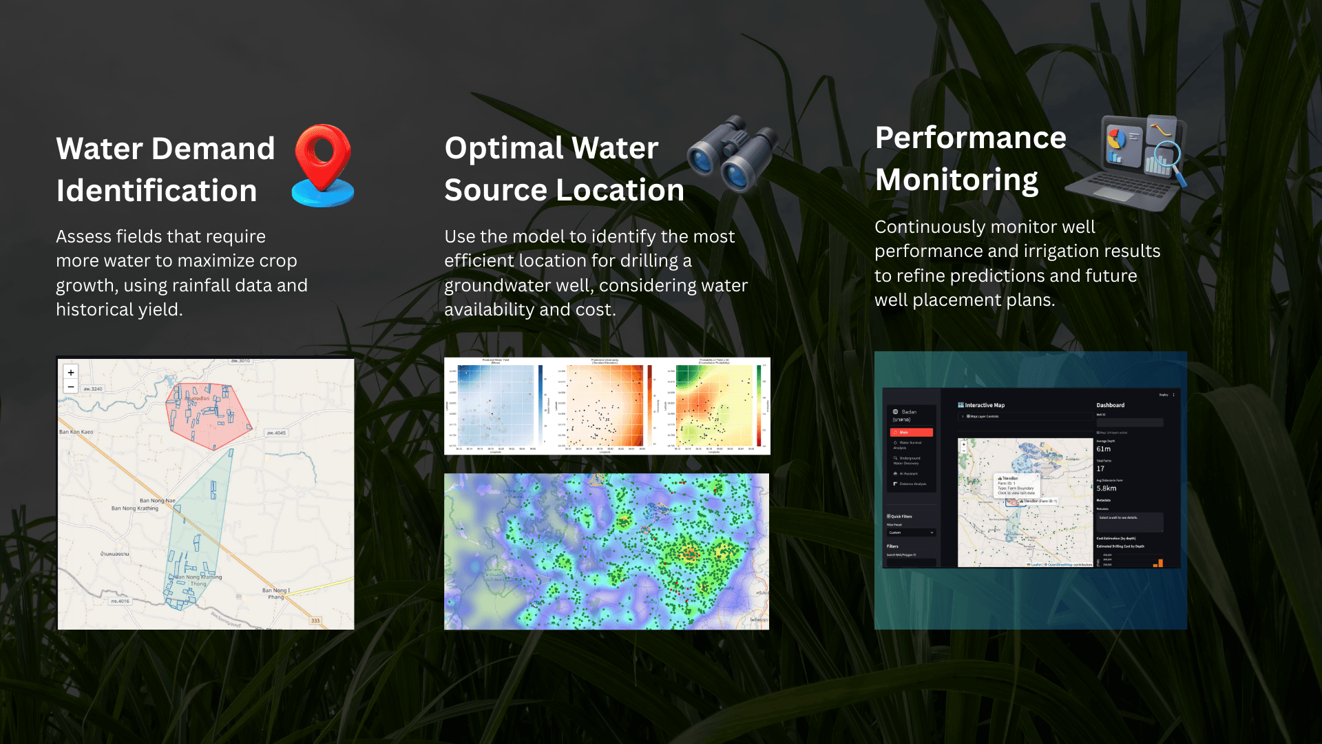
Figure: Overview of Badan AI
- Conversational Querying: "Where should we drill in Plot A?" -> returns specific coordinates and confidence scores.
- Scenario Planning: "If rainfall decreases by 20%, which wells are at risk?" -> simulates yield changes. This "Chat-to-Insight" layer bridges the gap between complex data science and actionable agricultural strategy, empowering every employee to make data-driven decisions instantly.
Machine LearningGeospatial DataAgentic AIAnalytics
Gallery Overview
Siwarat Laoprom © 2026